The Future of Map Design in Pakistan: Role of Modern Technology
Introduction
In the ever-evolving world of architecture and urban planning, map design is no longer limited to paper and pencils. Pakistan, a country rapidly embracing digital transformation, is witnessing a significant shift in how house plans, site layouts, and city maps are designed. From manual drafting to AutoCAD, 3D modeling, and AI-assisted design tools, modern technology is redefining how maps are created, shared, and executed.
This article explores the future of map design in Pakistan, highlighting the technological trends shaping the industry and why adopting these innovations is essential for architects, engineers, and homeowners alike.
The Shift from Traditional to Digital Map Design
From Hand-Drawn Sketches to CAD Precision
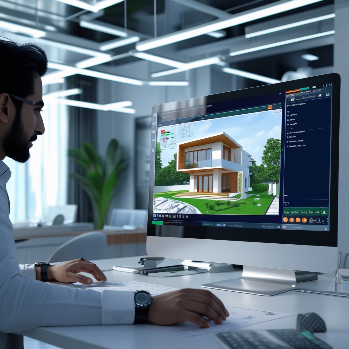
In the past, house and land maps were manually drawn with scales and rulers. This process was slow, prone to errors, and difficult to update. The arrival of AutoCAD and other Computer-Aided Design tools brought a new era of precision, speed, and accuracy.
Real-Time Revisions and Scalability
With digital tools, revisions can be made in minutes. Whether you’re designing a 5-marla residential plot or a commercial plaza, modern software offers scalability, flexibility, and accuracy that traditional methods can’t match.
The Role of AutoCAD in Shaping the Future
Why AutoCAD Is Still King
AutoCAD remains the industry standard in Pakistan’s architectural firms. It allows for:
Layer management
Accurate dimensioning
Easy sharing of DWG files
Integration with GIS and BIM platforms
In local terms, AutoCAD has become synonymous with “naksha tayar karwana.”
Training and Accessibility
More young professionals are learning AutoCAD in vocational institutes, and online platforms offer affordable training, making this skill widely accessible even in smaller cities.
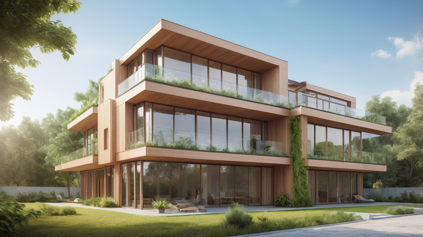
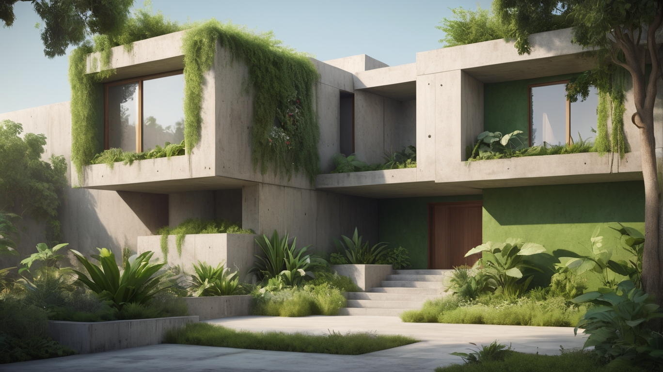
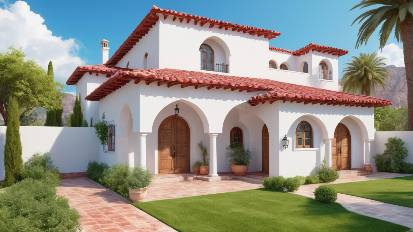
3D Modeling: Beyond 2D Maps
Adding Depth to Design
3D modeling software like SketchUp, Revit, and 3ds Max is gaining popularity in Pakistan. These tools help in visualizing structures in real-world settings before construction begins.
Improved Client Communication
Clients can now “walk through” their future homes in virtual environments, understanding every corner of their living space before a single brick is laid.
The Rise of Online Map Services
Freelance Platforms and Remote Services
Websites like Fiverr, Upwork, and local platforms like nakshanigar.com now offer easy access to map designers. You can submit your plot dimensions and get a professional map in 24-48 hours.
Integration with Mobile Apps
Modern apps allow clients to mark property boundaries, input measurements, and receive design updates in real-time. Mobile-friendly solutions are growing, especially for users in remote or rural areas.
Smart Mapping with AI and GIS
Artificial Intelligence in Map Drafting
AI can now suggest optimal space usage, energy-efficient layouts, and even check for regulatory compliance. This not only saves time but increases design intelligence.
GIS for Urban Planning
Geographic Information Systems (GIS) are being used by municipal authorities in Lahore, Islamabad, and Karachi for zoning, infrastructure planning, and emergency services routing.
Challenges in the Pakistani Context
Digital literacy gaps in rural areas
Lack of standardization in design approval processes
Slow adaptation of municipal authorities to digital submission methods
Despite these hurdles, the shift is inevitable and gaining momentum every year.
Why You Should Choose Digital Map Design Today
Whether you’re a homeowner planning to build your dream house, a contractor handling multiple projects, or a city planner working on zoning regulations, digital map design is no longer optional—it’s essential.
Conclusion
The future of map design in Pakistan is digital, smart, and incredibly promising. By embracing modern tools like AutoCAD, 3D modeling software, GIS, and AI-driven platforms, Pakistan’s architecture and planning sectors can build faster, smarter, and more sustainable environments.
At nakshanigar.com, we’re proud to be part of this digital revolution—offering professional, modern, and affordable map design services to clients across Pakistan and beyond.